The emperor, the sultan and the strange map at the Alcazar
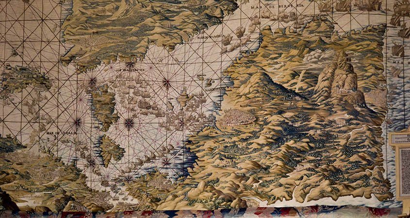
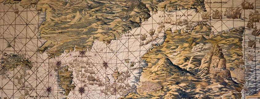
In a large room of the Alcazar of Seville there are a series of 6 huge tapestries of almost 40 square meters. Five of them represent scenes of a war, but the sixth is different, it shows a strange map of the European continent and North Africa with the peculiarity that everything is upside down, north to south, east to west and vice versa. On one side there is a venerable old man with a white beard who carries a compass in his hand, he is the map designer, the Flemish Jan Vermeyen, with the other hand he is holding a sign written in old Spanish where we read how to understand this strange map since the cartographer knew that it would not be easy at first sight.
The map is framed between two large columns with the symbols of Emperor Charles V, the columns of Hercules with the legend Plus Ultra and the two-headed black eagle of the Habsburgs. In the upper part there is an inscription in Spanish, in the lower one more in Latin, the international language of the time. The tapestry collection and its original map tell us about the military expedition to Tunisia in 1535 that Emperor Charles V undertook against his enemy Suleiman, nicknamed the Magnificent.
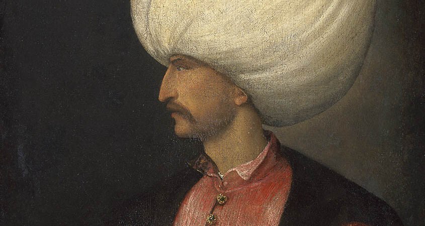
Who was Suleiman the Magnificent?

Less than a century earlier, in 1453, the Christian city of Constantinople had been conquered by the Ottoman Muslims. His new name would be Istanbul, the churches were transformed into mosques, but its fame, its commercial and artistic power continued to grow with the new owners. The Ottoman dynasty came from the steppes of Central Asia and little by little they controlled the entire western territory of Asia and the wealth of the Silk Road.
On the death of his father Selim II, his son Soliman took the throne. A new sultan who soon revealed himself as a powerful monarch with the intention of enlarging his empire and beautifying his capital.
He is known to Suleiman with the appellation of the Magnificent for the splendor and richness of his court, as well as for his personal reputation as a generous and detached monarch.
His possessions with the base of Turkey would go from Hungary to Iraq and from Yemen to the Russian steppes west of the Caspian Sea.
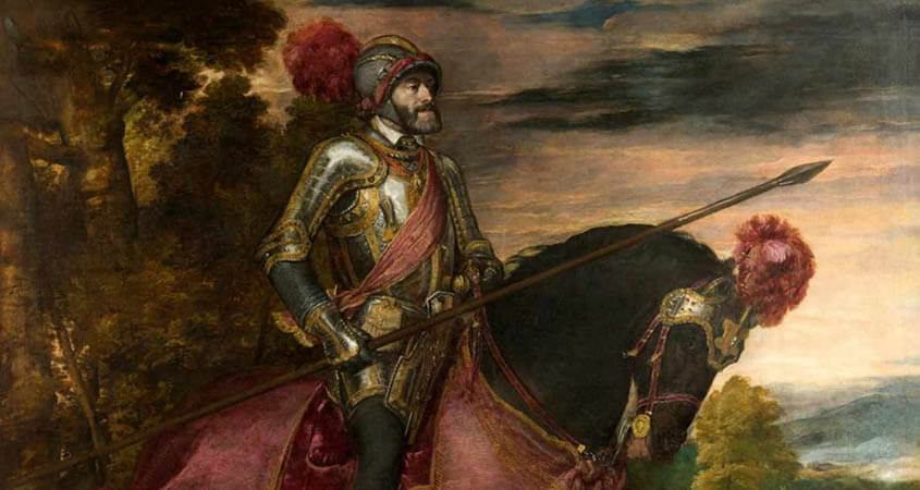
Who was Emperor Charles?

Charles I of Spain and V of the German Empire was the first monarch of the Habsburg dynasty. Grandson of the Catholic Monarchs inherited the throne in 1517 and dedicated himself to maintaining and expanding Hispanic territories throughout the known world that now also included the West Indies, soon called America. From Spain to the Indies, in addition Austria, Germany, the Netherlands, Belgium and in Italy Sicily, Naples and Sardinia.
The Ottomans and the Habsburgs, Turkey and Spain, two great empires face to face.
The conquest of Tunisia
North Africa was a complicated area. Tunisia was held by the Berbers who were vassals of the emperor, but in 1534 the Turks conquered the city for Soliman. Less than a year later, the Emperor Charles tried to recover it. Would he succeed?
In addition, the Spanish Mediterranean coast was frequently attacked by North African pirates who in their raids captured Christians to make them slaves, members of their armies or women to be part of their harems. The most fearsome pirate was called Barbarossa (Red Beard), he was based in Algiers, but the powerful Ottoman Sultan Soliman was financing him from far away in Istanbul. That is why, with the conquest of Tunisia, Carlos tried to curb pirate incursions and expand his influence in the Mediterranean against the influential Turkish Sultan.
The tapestry of the map

On this occasion the emperor won the war and Tunisia was conquered by the Spanish in 1535. He wanted to represent his victory in a series of tapestries. The originals were made in Brussels and signed by Pannemaker.
However, in the 18th century the originals were so damaged that Felipe V commissioned in 1.740 the copies in silk and wool that are now exposed. They were manufactured in Madrid, in the Royal Tapestry Factory of Santa Barbara. In one of them we can see the signature of the artist, Fco.Y. Vandergoten.
Of the ten tapestries produced in the 1730s six are in this room of the Alcazar of Seville and the other four are in Madrid. The most original is undoubtedly the one that represents the map, with the particularity that it has a vision from Spain to Africa, with which Africa is above and Europe below.
The maritime expedition left from the port of Barcelona and it was joined by the famous Genoese galleys. After a stop in the Balearic Islands they continued towards Tunisia.
The other tapestries do not represent maps but they do play with the points of view, and some have the view from the ground and others from the sea, so that it shows in a new and modern way the different scenes as if from a film camera It will be.
It was not the first map that was made in this way with south-north orientation. But this is especially detailed, you just have to look backwards.
After all, the orientation with the north above is arbitrary, since it depends on where the viewer is located. Anyway there are clues on the map, we find compasses or wind roses with their needle always pointing north… So we never lose our way!


